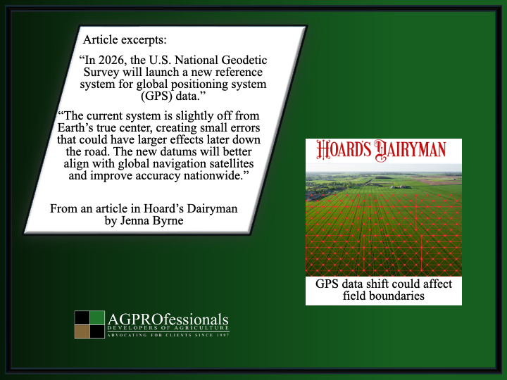
“An important change is coming to the frontlines of precision agriculture. In 2026, the U.S. National Geodetic Survey will launch a new reference system for global positioning system (GPS) data. The old standards like the North American Datum of 1983 (NAD 83) for horizontal positioning and the North American Vertical Datum of 1988 (NAVD 88) for elevation, will be replaced with the North American Terrestrial Reference Frame of 2022 (NATRF 2022) and the North American-Pacific Geopotential Datum of 2022 (NAPGD2022). While that may sound like a minor technical update, the change could move mapped field coordinates by several feet, said Iowa State University extension specialist Doug Houser in an Integrated Crop Management Blog.
These datums serve as the foundation for every GPS-based activity on the farm, including things like autosteer lines, yield maps, tile drainage, and field boundaries. The current system is slightly off from Earth’s true center, creating small errors that could have larger effects later down the road. The new datums will better align with global navigation satellites and improve accuracy nationwide.
Most farmers using the Wide Area Augmentation System (WAAS) or commercial Real Time Kinematics (RTK) correction services may not notice much difference. But those using local base stations or state Real-Time Networks (RTN) tied to NAD 83 could see their GPS points shift by 1 to 4 meters. “If you’re using the Iowa Real-Time Network continually operating reference stations (IARTN CORS), you’ll definitely want to plan ahead, as your reference positions will shift, and field alignments may no longer match,” he said. That means an autosteer line that ran perfectly straight this fall could suddenly cut across a field boundary after 2026.
Houser advised producers to prepare now. Back up all GPS files, confirm how your equipment and mapping software reference coordinates, and check with your dealer for updates that support the new standards. The National Geodetic Survey’s Coordinate Conversion and Transformation Tool (NCAT) can help estimate how far your points might move.
Houser highlighted three ways to handle the new updates.
1. Resurvey: Physically recollect GPS coordinates for field boundaries, control points, or benchmarks using a system aligned to the new datums.
2. Readjust: Recalculate your data using updated reference points or transformation software.
3. Transform: Use conversion tools to shift existing NAD 83 data to the 2022 system.
Drainage maps, nutrient management plans, and applicator guidance all rely on accurate coordinates. Wrong field boundaries or incorrect elevations could lead to costly mistakes. “NAD 83 and NAVD 88 won’t disappear overnight, but relying on outdated systems will only get more confusing and less compatible with time. Taking a little time now to understand how your equipment references position data will save you headaches down the road,” Houser warned.”